Atlas Globe
A free tool that lets you run SQL queries on geographic data and see the results spinning on a 3D globe, entirely in your browser — no server, no setup, no account.
🔗 Visit Atlas Globe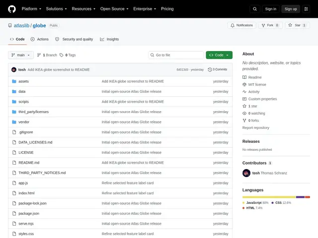
Description
Exploring geographic data usually means either wiring up a GIS desktop app or standing up a small server just to serve a map. Atlas Globe skips both: it's a single web page that runs a real SQL database and a 3D globe renderer directly in your browser tab, so you can load a dataset, query it, and see the results plotted on a rotating Earth without installing anything.
Atlas Globe is a static, browser-based spatial data workbench built on DuckDB-Wasm (a full SQL engine compiled to WebAssembly) for querying and Globe.gl for 3D visualization, with zero server or external dependency once loaded. It ships with 10 bundled datasets from sources like NOAA, USGS, Natural Earth, Overture Maps and Wikidata, supports importing additional datasets via CSV or Parquet URLs, and tracks provenance and licensing per dataset with SHA-256 digests for reproducibility. It also exposes its query and visualization actions through WebMCP, meaning AI agents can drive it programmatically — load data, run a query, render a scene — which is a deliberate design choice aimed at both human analysts and agent-based workflows. It deploys as static files (e.g. to Cloudflare Pages) with no backend to maintain. The project is brand new, created September 4, 2026, MIT-licensed, well-documented, but with only one GitHub star so far — genuinely fresh rather than battle-tested.
💬 Our review
The short version: if you want to poke at a geographic dataset with real SQL and see it on a globe without spinning up any infrastructure, Atlas Globe does that for free in a browser tab — it's just one day old, so expect rough edges.
Against desktop GIS tools like QGIS or dashboard platforms like Mapbox/Tableau, Atlas Globe's differentiator is that it needs literally nothing installed — no account, no server, no license — and its WebMCP integration means an AI agent can query and visualize data through it directly, which is a genuinely forward-looking design choice most mapping tools don't have yet. The tradeoff is exactly what you'd expect from a one-day-old, one-star repository: no track record, no community-tested edge cases, and the bundled dataset selection (10 sources) is a fraction of what a mature GIS tool offers. Worth trying for a quick, no-install look at bundled open geographic datasets or for prototyping an agent-driven spatial workflow; not yet a replacement for QGIS or Mapbox on a serious mapping project.
💰 Pricing
📊 Global score
🤖 AI-enriched data
Gratuit, licence MIT
Pros
Zéro installation : SQL + globe 3D directement dans le navigateur, aucun serveur requis
10 jeux de données géographiques prêts à l'emploi (NOAA, USGS, Natural Earth, Overture Maps, Wikidata)
Intégration WebMCP : un agent IA peut piloter les requêtes et la visualisation
Provenance et licence trackées par dataset avec empreintes SHA-256 pour la reproductibilité
Cons
Projet créé la veille (4 septembre 2026), 1 seule étoile GitHub — aucun retour terrain
Sélection de jeux de données limitée comparée à un outil SIG mature
Pas d'écosystème de plugins ni de communauté établie