GeoLibre
A free tool for looking at and analyzing map data — from city planning layers to satellite terrain, even other planets — that runs in your browser, on your desktop, or inside a Jupyter notebook, without an expensive GIS license.
🔗 Visit GeoLibre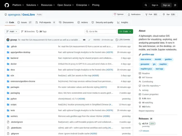
Description
Professional geographic information system (GIS) software like ArcGIS is powerful but expensive and often locked to one platform. GeoLibre is a free, open-source alternative built to visualize and analyze geospatial data — maps, terrain, vector layers, time-based data — across the web, desktop, mobile, and Jupyter notebooks, so a student, researcher, or small team isn't priced out of doing real GIS work.
It supports 3D Tiles rendering, planetary basemaps (Earth, Moon, Mars, Mercury, Venus, Pluto, Charon, and the Galilean moons — useful for planetary science, not just Earth GIS), a SQL Workspace for querying geospatial data directly, vector and terrain analysis, time-based visualization, and a plugin architecture for extending it further. It's built with Tauri v2, React, TypeScript, MapLibre GL JS, DuckDB-WASM Spatial, and deck.gl, runs on web browsers, desktop (Windows/macOS/Linux), Android, and Jupyter, keeps data local and private by design while still supporting cloud-native data sources, and is MIT-licensed with around 3.9k GitHub stars, 426 forks, and 908 commits. It's even archived on Zenodo with a citable DOI, which matters for academic use.
💬 Our review
The short version: for students, researchers, and small teams who need real GIS capability — not just a pretty map — without paying for an ArcGIS license, GeoLibre covers a lot of ground for free, including some genuinely unusual features like planetary basemaps.
Compared to ArcGIS or QGIS (QGIS is also free and open-source but desktop-only and older-feeling), GeoLibre's multi-platform reach (web, desktop, mobile, Jupyter) and modern stack (WebGPU-era rendering via Tauri/deck.gl) make it feel considerably more current, though QGIS still has a much larger plugin ecosystem and community after two decades of development. The Zenodo DOI archival is a small but meaningful detail for academics who need to cite the software they used. As a smaller, younger project (3.9k stars versus QGIS's much larger base), expect fewer tutorials and community plugins, but if your workflow is web-first or notebook-first, GeoLibre is likely a better native fit than retrofitting QGIS into that context.
💰 Pricing
📊 Global score
🤖 AI-enriched data
Open-source (licence MIT), aucun coût
Pros
Multi-plateforme : web, desktop, mobile, Jupyter
Basemaps planétaires (Lune, Mars, Vénus...) en plus de la Terre
SQL Workspace pour requêter les données géospatiales directement
Gratuit, open-source, archivé sur Zenodo (DOI citable)
Cons
Écosystème de plugins et tutoriels plus restreint que QGIS
Projet plus jeune (3.9k étoiles) comparé aux références établies
Moins de fonctionnalités entreprise qu'ArcGIS